Land Surveying
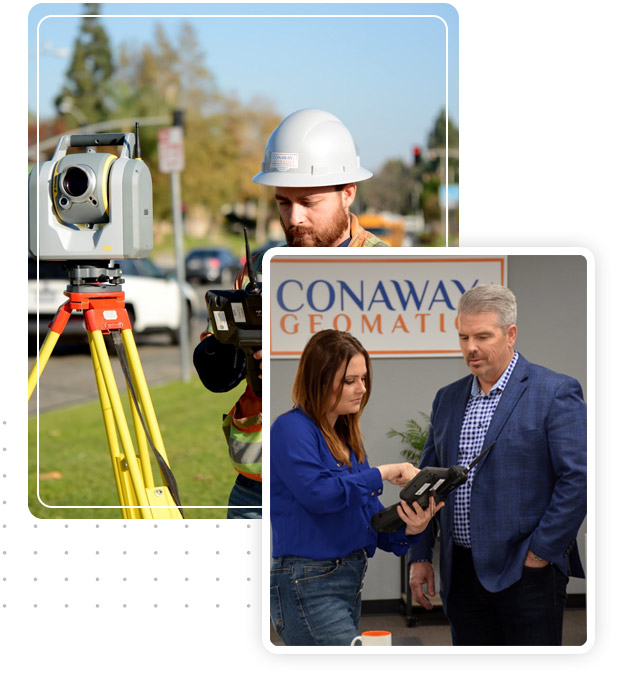
At Conaway Geomatics, our forward-thinking team of professionals seamlessly combines traditional survey techniques with cutting-edge technology, bridging the gap between innovation and project requirements.
GIS Services
Conaway Geomatics features an in-house team with expertise in Geographic Information Systems (GIS), specializing in geomatic analysis, GIS web applications, geodatabase design and creation, cartographic mapping, and consulting.
Subsurface Utility Engineering (SUE)
At Conaway Geomatics, our dedicated Subsurface Utility Engineering (SUE) team delivers expert services in Utility Research, Detection, Mapping, and Subsurface Utility Locating. Leveraging state-of-the-art Electromagnetic Locators and Ground Penetrating Radar (GPR) technology, we provide precise and dependable data for underground utilities, ensuring informed decision-making and enhanced project outcomes.

ABOUT CONAWAY GEOMATICS
A Full-Service
Geomatic Firm
Bringing over 50 years of cumulative experience in the geomatic industry, we specialize in providing land surveying, geographic information system (GIS), utility locating services, and professional consulting services.
We take pride in our certifications.


Our Areas
Of Focus
At Conaway Geomatics, we’re more than just a service provider—we’re your dedicated geomatics partner. With a forward-thinking team that combines traditional survey techniques with cutting-edge technology, we bridge the gap between innovation and project requirements. Our mission is to deliver adaptive solutions that enhance project quality, safety, schedule, and cost effectiveness. With a balanced approach, we tackle projects across various sectors, including energy, railroad, site development, state and federal government, transportation, and water. Trust our experienced team to deliver tailored geomatic solutions that meet your needs and exceed expectations.
Energy
Conaway Geomatics is committed to advancing California’s energy sector. We support engineering and utility firms in achieving the state’s renewable energy goals. Our team provides comprehensive land surveying and GIS services to ensure our clients’ electric infrastructure projects have accurate and high-quality geomatics solutions. We are happy to be a part of California’s smooth transition to renewable energy.
Railroad and Rail Transit
At Conaway Geomatics, we boast a wealth of experience and specialized expertise in delivering exceptional surveying and GIS services tailored specifically for railway projects. With a profound comprehension of the distinctive challenges and demands of railway infrastructure, we excel in providing precise, dependable, and punctual solutions customized to suit the individual needs of each project. Our track record includes delivering geomatic solutions for a diverse range of railway systems, including freight, commuter rail, light rail, and high-speed rail projects across California.
Site Development
Conaway Geomatics offers a range of services for clients undertaking site development projects throughout California. Our team specializes in topographic design surveys, ADA surveys, ALTA surveys, utility locating, construction staking, and boundary surveys. With a keen understanding of the stringent requirements involved, we deliver precise and reliable geomatic solutions tailored to your project’s needs.
State and Federal
Conaway Geomatics holds certifications as a California DVBE and Federal SDOSVB, and we are registered in SAM. Over the past five years, we have proudly provided land surveying and GIS services for numerous state projects, renewable energy initiatives, and educational institutions. On the federal side, Conaway Geomatics has delivered land surveying services for several military projects. We are proud to have Licensed Land Surveyors in California, Arizona, Utah, Nevada, and Texas.
Transportation
Conaway Geomatics specializes in providing comprehensive Land Surveying and GIS services for transportation projects across California. Our experienced team has successfully supported a wide range of projects including highway, roadway, public bus lines, and Active Transportation Plans throughout the state. By delivering land surveying data that meets State, local government, and transportation agency requirements, we assist our clients in designing their projects with accurate and high-quality data, ensuring successful outcomes.
Water Utility
Conaway Geomatics stands out in delivering specialized land surveying services tailored exclusively for California’s independent water companies. Our comprehensive suite of services is designed to support our partners in ensuring the smooth and safe operation of their facilities. We take pride in collaborating with water agencies to provide them with the precise geomatics solutions that best suit their projects. Trust us to be your dedicated partner in achieving your water infrastructure goals.
Five Years of Growth and Commitment to the A&E Industry

OUR SUCCESS STORIES
Recent Projects and
Case Studies
See why professionals choose Conaway Geo

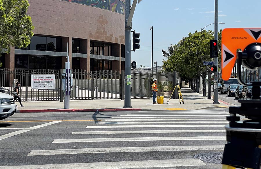
K-Line North Extension formally Crenshaw North LAX Extension Los Angeles Metro – Sub to WSP
Conaway Geomatics is thrilled to celebrate the successful completion of our contributions to the K-Line project, formerly known as the Crenshaw North LAX Extension

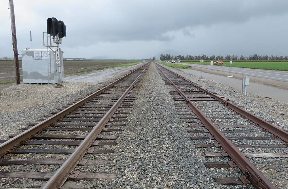
PS&E for Leesdale Siding Extension Project LOSSAN – Sub to Zephyr Rail
Conaway Geomatics is proud to have played a crucial role in the development of the four-mile side extension rail project in Oxnard, California. Our team provided comprehensive design surveys and Right of Way (ROW) surveys.
